Yesterday I wanted to get out and hike to at least one SOTA summit as it had been over 2 months since I last strapped on the boots in anger. I started looking around the hills to the east of Melbourne, the likes of Mt Dom Dom, Mt Vinegar, Mt Donna Buang and Federation Range.
Marshall, VK3MRG, had linked his post from the SOTA summit page and he had suggested that Federation Peak would make an ideal SOTA activation by mountain bike.
Leaving home just after 7:00, with my Coca-Cola bike on board, I drove up to the Lake Mountain village car park to commence my journey to the summit. The weather was ideal for hiking with no cloud and an occasional breeze.
Federation Range, VK3/VN-029, is the replacement summit for VK3/VN-003 which was removed from the SOTA summit list on 1 February 2014, after I discovered a slightly taller summit a 1.6 kilometres North. The summit is also the highest point in the Yarra Ranges National Park so all QSOs also qualified toward the Keith Roget Memorial National Parks award and the WWFF program.
Heading of from the car park on my bike I was faced with the first challenge of the day. A hill. One of the most consistent things about SOTA summits is that they are all on the top of hills. It’s in the rules. Another constant is how tough the first part of a hill is if you haven’t hiked for a while. Riding a bike is no different.
I’m not ashamed to say that I walked the bike up all but the most shallow of the hills. I rode the bike along the flat sections and, of course, down hill. There is only really one down hill section on the approach to the new Federation Range summit.

Linked dipole in trees
It took me a little over 45 minutes to cover the 4.0 km from car park to the Boundary Hut ruins, just off the summit. I stopped a number of times on the way up to catch my breath, and curse Marshall for even suggesting a bike.
Once at the ruins I threw a rope over a branch and set up my linked dipole antenna. The trees at the summit were burnt during the February 2009 Black Saturday bush fires and are very weak and branches break and fall easily. With this in mind I was extremely careful not to be under the tree branches while hauling the antenna up and down when changing bands.
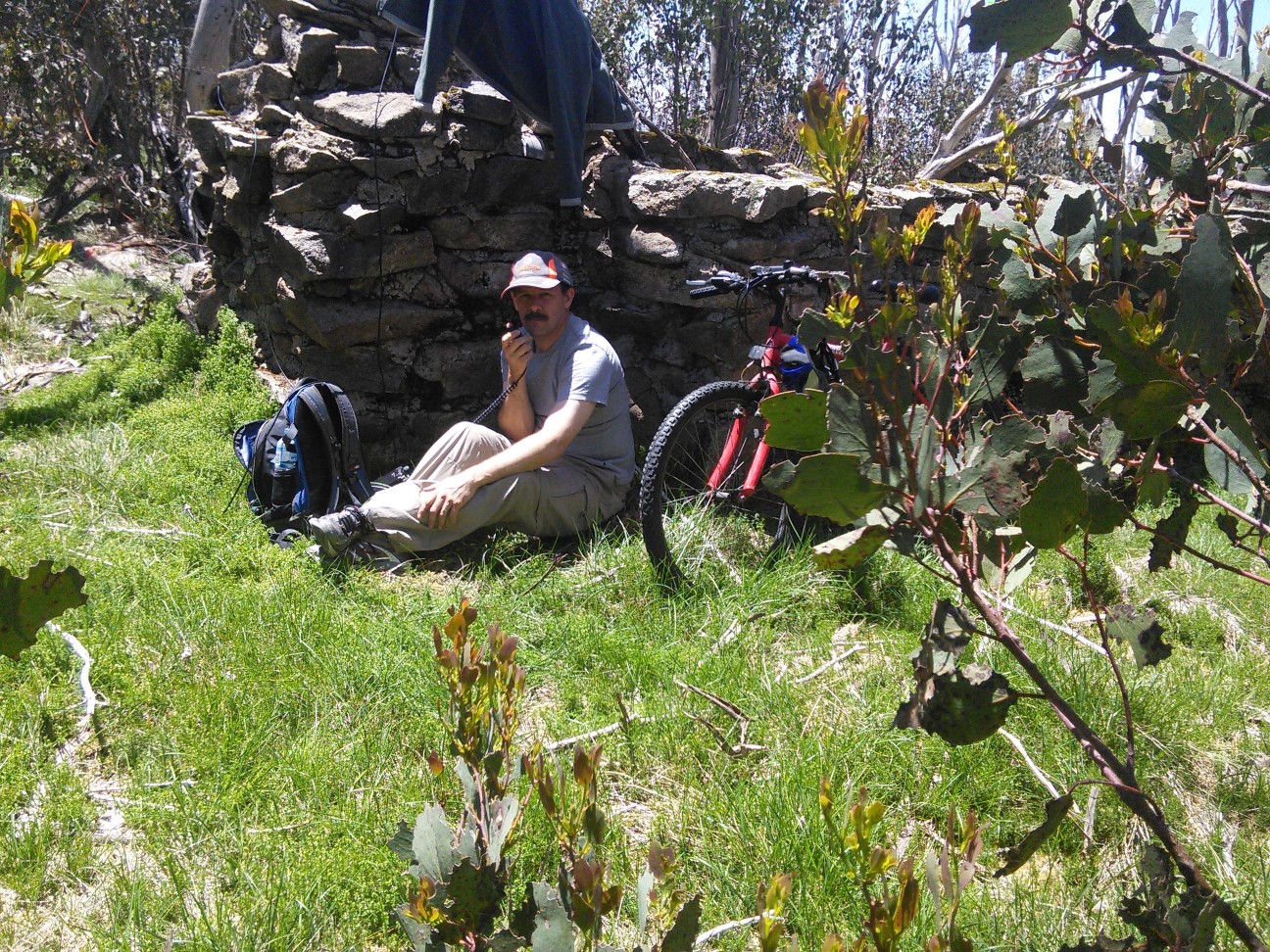
Operating position
I set my FT817 up in the small amount of shade available beside the brick ruins.
Band conditions were average and I made a total of 27 QSOs, 24 on 40m, two on 2m and one on 70 cm. This includes a summit to summit QSO with Ray VK3YAR who was over on Mt Moliagu, VK3/VN-024.
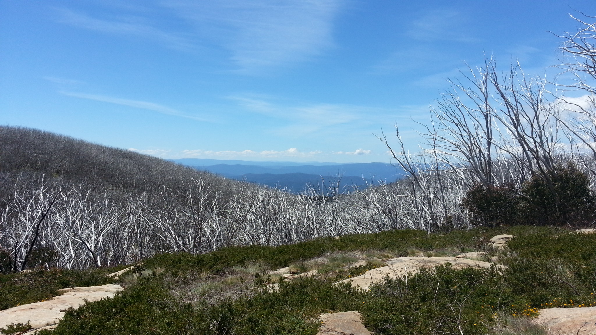
View from Lookout Rock
The trip back to the car was quicker and the benefit of the bike was discovered. I only walked the bike once on the way back to the car which was the short pinch back up to Lookout Rock. Along here I also found a step counter that I was able to return to its owner further along the track. Average speed on the return trip was 8.3 km/h with a peak speed of 17.6 km/h.
My conclusion is that a bike may make the trip home easier and faster but, on steep hills, the trip up is harder.
73
One Response to SOTA on a bike – good or bad idea?